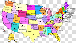
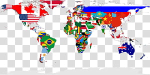
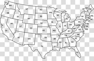
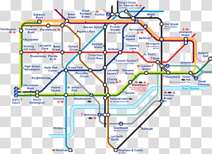
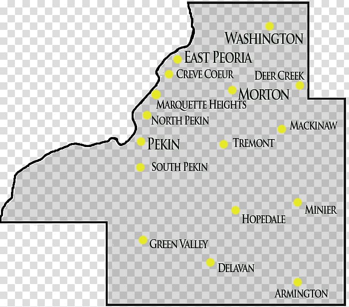
Washington County, Illinois Peoria Tazewell County, Virginia Map, map transparent background PNG clipart
Keywords
- washington
- county
- illinois
- peoria
- tazewell
- virginia
- map
- angle
- text
- united States
- material
- plat
- tazewell County Virginia
- travel World
- official
- line
- land Lot
- diagram
- area
- yellow
PNG Clipart Information
- PNG Dimensions 700x616px
- PNG File size 61.98KB
- MIME type Image/png
- PNG dominant color black
License
HiClipart is an open community for users to share PNG images, all PNG cliparts in HiClipart are for Non-Commercial Use, no attribution required. If you are the author and find this PNG is shared without your permisson, DMCA report please Contact Us.
Related PNG clipart images
-

white and black U.S.A. map illustration, Blank map Western United States Border World map, USA transparent background PNG clipart -

United States Blank map , about us transparent background PNG clipart - Advertisements
-

United States Computer Icons Google Maps, location icon transparent background PNG clipart -

United States Blank map U.S. state , USA transparent background PNG clipart -

U.S. state World map Virginia Inside U.S.A., united states transparent background PNG clipart -

flag of Iran, Flag of Iran Map National flag, iran transparent background PNG clipart -

USA flag illustration, Flag of the United States Independence Day , american flag transparent background PNG clipart -

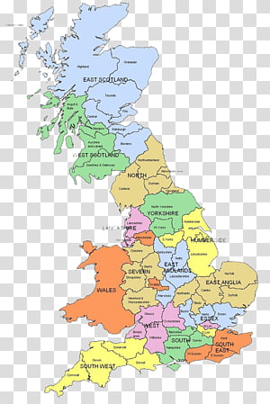
Scotland map, Wales Regions of England Map Counties of the United Kingdom, English United Kingdom map transparent background PNG clipart -

United States World map World map Geography, America transparent background PNG clipart -

white star illustration, United States Email Information Company, white star transparent background PNG clipart -

Google Map logo, Google Maps Road map Icon, Paper maps and map pointer transparent background PNG clipart -

white geographic map illustration, Europe United States Black and white Map , europe transparent background PNG clipart -

blue and green map illustration, Cartoon Map Euclidean , Tourist map map transparent background PNG clipart -

United States of America map and flag, Flag of the United States Map , USA transparent background PNG clipart -

World map Globe Flag, world map transparent background PNG clipart -

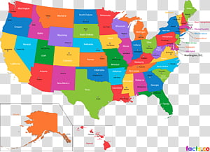
United States World map U.S. state Abbreviation, map usa transparent background PNG clipart -

yellow map illustration, Thailand Map Poster, Thailand sightseeing map transparent background PNG clipart -

flag of USA, Flag of the United States National flag Decal, usa flag transparent background PNG clipart -

Abu Dhabi Map Flag of the United Arab Emirates, uae transparent background PNG clipart -

Italy Travel map , Italy Travel , Italy Travel Map transparent background PNG clipart -

Light Line Blue Transparency and translucency, Blue technology connection map, shining diamond illustration transparent background PNG clipart -

Flag of the United States American Civil War Flag of the Philippines, USA transparent background PNG clipart -

Kentucky Blank map Geography , map transparent background PNG clipart -

blue map , United States Map, United States map transparent background PNG clipart -

USA text with flag theme illustration, Flag of the United States Desktop , usa gerb transparent background PNG clipart -

Europe Blank map World map Mapa polityczna, europe and the united states frame transparent background PNG clipart -

Flag of the United States Atlanta Falcons Flags of the World, usa flag transparent background PNG clipart -

Mexico map and flag , Flag of Mexico United States , Map of Mexico transparent background PNG clipart -

Flag of the United States Map Flag of Germany, american flag transparent background PNG clipart -

White House Plan Business Hotel Amtrak, White bar transparent background PNG clipart -

World Flag illustration, Flags of the World National flag Flag of Israel World Flag, asia transparent background PNG clipart -

United States Map , united states transparent background PNG clipart -

blue map illustration, Flag of Indonesia Map, indonesia transparent background PNG clipart -

World map Dot distribution map Globe, map transparent background PNG clipart -

Florida Map, map transparent background PNG clipart -

Japan Blank map Physische Karte World map, japan transparent background PNG clipart -

Outline of the United States Blank map World map, california (us state) transparent background PNG clipart -

Washington, D.C. Washington Metropolitan Area Transit Authority Transit map, metro transparent background PNG clipart -

Land lot Map Grundstück Plat Cadastral community, map transparent background PNG clipart -

Ordem E Progresso Brasil , Flag of Brazil Globe Map, brazil transparent background PNG clipart -

World map Dot distribution map Globe, dotted line transparent background PNG clipart -

South America Latin America United States Blank map , America transparent background PNG clipart -

States and federal territories of Malaysia States and federal territories of Malaysia Map, map transparent background PNG clipart -

United States Army Logo, marine transparent background PNG clipart -

South America Page Latin America Coloring book Map, America transparent background PNG clipart -

United States South America Blank map Continent, united states transparent background PNG clipart -

Flag of Washington, D.C., Flag transparent background PNG clipart -

map illustration, Road map Map folding City map , Europe and the United States map free to dig in kind to transparent background PNG clipart -

waving USA flag illustration, Flag of the United States, American flag background transparent background PNG clipart -

U.S. Army logo, United States Army Logo, united states transparent background PNG clipart -

Kew railway station London Underground Tube map Transport for London, London Subway transparent background PNG clipart -

United States Email Information Company, white heart, white heart illustration transparent background PNG clipart -

Counties of Iran Blank map Geography, map transparent background PNG clipart -

Flag of the United States , America transparent background PNG clipart -

Flag of the United States , usa flag transparent background PNG clipart -

world map illustration, Globe World map Map, Map transparent background PNG clipart -

Member state of the European Union Flag of Europe, uk map transparent background PNG clipart -

illustration of character traveling, Travel Tourism Euclidean , global travel transparent background PNG clipart -

Flag of the United States Ribbon , USA transparent background PNG clipart -

Flag of the United States Map , American Flag Page Border transparent background PNG clipart -

Flag of France Flag of Italy National flag, france transparent background PNG clipart -

White Pattern, World map free material transparent background PNG clipart -

Flag of the United States Bunting, BORDER FLAG transparent background PNG clipart -

Dubai Abu Dhabi Map Flag of the United Arab Emirates, uae transparent background PNG clipart -

Office of Fair Housing and Equal Opportunity Logo Equal housing lender United States Fair Housing Act, united states transparent background PNG clipart -

Dubai , Burj Khalifa Skyline , Drawing comic world city landmarks in Dubai transparent background PNG clipart -

Fake news United States Natural News Information, good news transparent background PNG clipart -

Rapid transit Transit map Washington Metropolitan Area Transit Authority Train, metro transparent background PNG clipart -

black map , Tamil Nadu Map Taxi, india map transparent background PNG clipart -

United States Map, united states transparent background PNG clipart -

United States Army Soldier Military, like us on facebook transparent background PNG clipart -

Flags of the World National flag Union Jack, Flag transparent background PNG clipart -

Google Maps Computer Icons Hot Pie Pizza Information, map transparent background PNG clipart -

Globe World , Global transparent background PNG clipart -

United Kingdom flag, Flag of the United Kingdom United States United Kingdom of Great Britain and Ireland, UK transparent background PNG clipart
