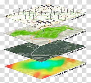
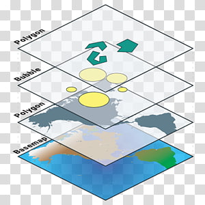
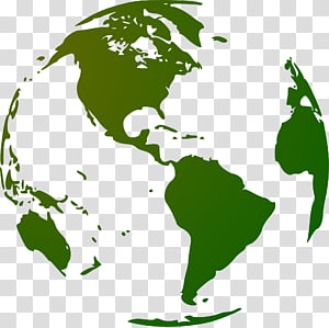
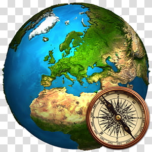
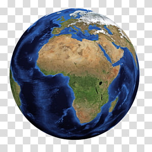
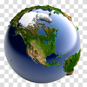
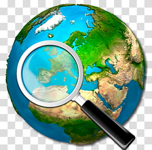
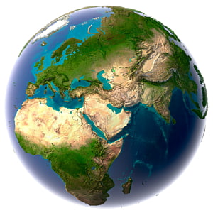
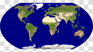
Earth illustration, Geographic Information System GIS Day Geographic data and information Geography Map, Earth In transparent background PNG clipart
Keywords
- geographic
- information
- system
- gis
- day
- data
- globe
- world
- geospatial Analysis
- tree
- spatialite
- spatial Analysis
- web Mapping
- organism
- spatial Database
- nature
- information System
- esri
- database
- arcGIS
- Geographic Information System
- GIS Day
- Geographic data and information
- Geography
- Map
- Earth
- illustration
PNG Clipart Information
- PNG Dimensions 1000x969px
- PNG File size 1.27MB
- MIME type Image/png
- PNG dominant color green
License
HiClipart is an open community for users to share PNG images, all PNG cliparts in HiClipart are for Non-Commercial Use, no attribution required. If you are the author and find this PNG is shared without your permisson, DMCA report please Contact Us.
Related PNG clipart images
-

planet earth artwork, Esri ArcGIS Server Geographic Information System Computer Software, previous icon transparent background PNG clipart -

Geographic Information System Mastering ArcGIS Geography Geographic data and information, map transparent background PNG clipart - Advertisements
-

Geographic Information System Map ICO Icon, gis s transparent background PNG clipart -

Geographic Information System Geography Geospatial analysis Map, map transparent background PNG clipart -

Map, ArcGIS, Web Map Service, Web Mapping, Esri, Geography, Qgis, Digital Mapping, Geographic Data And Information, Information System transparent background PNG clipart -

Geographic Information System Geography GIS Day Geographic data and information, layer transparent background PNG clipart -

World Earth Day, Geographic Information System, Geography, Geographic Data And Information, Gis Day, ArcGIS, Map, Information Technology transparent background PNG clipart -

gold globe illustration, Earth science Cloud computing Data, Earth transparent background PNG clipart -

Geographic Information System Web mapping ArcGIS Geography, layers transparent background PNG clipart -

earth illustration, Globe Earth World map, Earth Globe transparent background PNG clipart -

Geographic Information System GIS Day GIS applications Map Geography, cartoon earth transparent background PNG clipart -

Globe World 3D computer graphics Visualization Map, earth transparent background PNG clipart -

ArcGIS ArcView Esri ArcEditor ArcInfo, map transparent background PNG clipart -

Esri ArcGIS Server Geographic Information System ArcMap, map transparent background PNG clipart -

Geographic Information System Computer Icons Map Icon design, map transparent background PNG clipart -

Globe World map , earth transparent background PNG clipart -

Server Logo, ArcGIS, Esri, Geographic Data And Information, Esri Canada, Arcgis Server, Computer Software, Geography transparent background PNG clipart -

Geographic Information System Computer Icons Map Geographic data and information Computer Software, map transparent background PNG clipart -

United States World map Globe, Green Earth transparent background PNG clipart -

ArcGIS Geographic Information System Esri Cartography, map transparent background PNG clipart -

green globe illustration, Earth Globe World map, Earth transparent background PNG clipart -

World Earth Day, Gis Day, Geography, Information System, Geographic Data And Information, Gis People, Esri, Map transparent background PNG clipart -

Earth Drawing , earth transparent background PNG clipart -

globe illustration, Globe Logo , White signal orbit the Earth transparent background PNG clipart -

Esri International User Conference ArcGIS Server Redlands, map transparent background PNG clipart -

Earth Globe World map, Green Earth transparent background PNG clipart -

Globe Earth GeoExpert, World Geography, globe transparent background PNG clipart -

Globe Earth Africa World map, earth day transparent background PNG clipart -

ball coated by leaves , Earth Natural environment Environmentally friendly, Green Earth transparent background PNG clipart -

United States Earth , Earth transparent background PNG clipart -

multicolored planet illustration, Earth Green Environmentally friendly, Environmental Earth transparent background PNG clipart -

Big data Analytics Data analysis Data visualization, internet of things transparent background PNG clipart -

planet Earth , Earth Globe Drawing Sketch, earth transparent background PNG clipart -

Map, Information System, Geography, Geographic Information Science, Geographic Data And Information, Web Mapping, Cartography, Information Technology transparent background PNG clipart -

white and green map , Nigeria Web mapping Globe , eva longoria transparent background PNG clipart -

Earth Light Planet Space, earth transparent background PNG clipart -

World Earth Globe Cartoon , Earth Overshoot Day transparent background PNG clipart -

Globe Map, Earth and curves transparent background PNG clipart -

earth illustration, United States Earth World map Globe, Earth transparent background PNG clipart -

Earth Desktop Environmentally friendly Green Recycling, earth transparent background PNG clipart -

Internet , Internet Security Earth transparent background PNG clipart -

Internet Information Business Advertising Service, tecnologia transparent background PNG clipart -

blue and green earth illustration, Earth Globe , earth transparent background PNG clipart -

gray map illustration, World map Globe, World map transparent background PNG clipart -

World Earth Day, Globe, World Map, Template, Replogle, Continent, Green, Arbor Day transparent background PNG clipart -

Earth Planet Natural environment , earth transparent background PNG clipart -

Big data Data analysis Analytics, Business transparent background PNG clipart -

Europe Blank map Globe World map, european classical transparent background PNG clipart -

Geographic Information System Map Open Geospatial Consortium Computer Software Geospatial analysis, map transparent background PNG clipart -

Wisconsin Blank map , State transparent background PNG clipart -

Philippines Philippine Declaration of Independence Shapefile Map Geographic Information System, map transparent background PNG clipart -

Earth with spigot painting, Earth World Water Day Water conservation Water efficiency, Environmental Earth transparent background PNG clipart -

Earth Natural environment Concept Ecology Planet, earth transparent background PNG clipart -

black and green planet logo, ICO World Wide Web Icon, Earth transparent background PNG clipart -

Globe Earth Geography World Cartography, globe transparent background PNG clipart -

World map Globe Blank map, germ detail map transparent background PNG clipart -

Natural environment World Environment Day Earth Recycling Environmentally friendly, natural environment transparent background PNG clipart -

Heart Symbol, ArcGIS, Esri, Arcmap, Data, Computer Software, Organization, Web Map Service transparent background PNG clipart -

Import , Golden Earth transparent background PNG clipart -

United States Earth Globe World map, earth transparent background PNG clipart -

Beyeler Foundation GPS Navigation Systems Computer Icons Google Map Maker, map marker transparent background PNG clipart -

gray and blue earth illustration, Earth Globe World Icon, 3D,Earth transparent background PNG clipart -

brain with neurons , Mind map , Cartoon brain thinking divergent color tree transparent background PNG clipart -

water droplet illustration, Earth Water Drop, Earth transparent background PNG clipart -

camera, plane, and ball illustration, Air travel World Tourism Day Flight Travel website, World Travel transparent background PNG clipart -

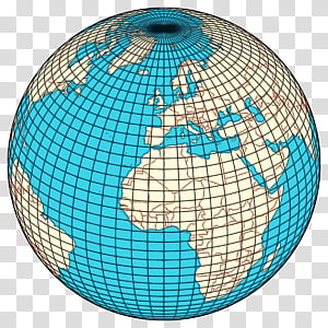
Earth, Geographic Coordinate System, Latitude, Longitude, Circle Of Latitude, Distance, Meridian, Geography transparent background PNG clipart -

World map Satellite ry Earth, satellite map transparent background PNG clipart -

Globe Earth Latitude Longitude Geographic coordinate system, geography transparent background PNG clipart -

World Environment Day Natural environment June 5 Ecology Earth Day, Green Earth transparent background PNG clipart -

Globe Concept illustration , Planet Earth transparent background PNG clipart -

buildings and trees on earth illustration, World map , World Earth Background transparent background PNG clipart -

Globe World map, Globe transparent background PNG clipart -

Globe World Computer Icons Icon design, web transparent background PNG clipart -

China Japan Australia Earth World, Blue Earth transparent background PNG clipart -

blue and green earth art, Environmental protection Poster Illustration, Creative Environmental Earth transparent background PNG clipart

