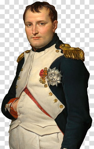
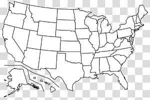
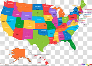
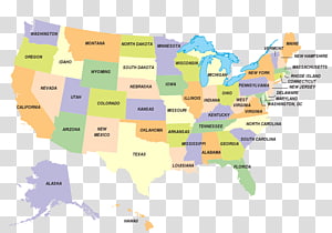
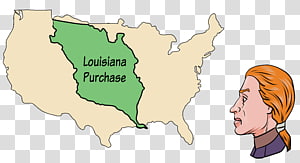
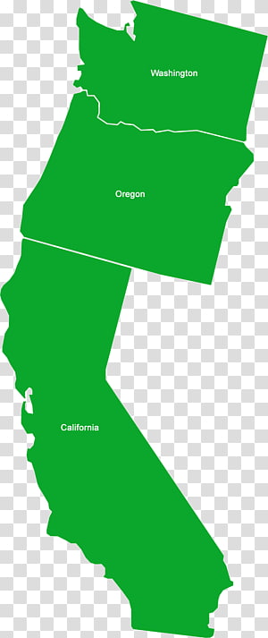
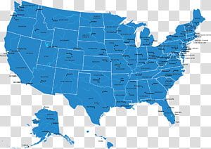
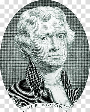
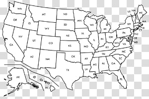
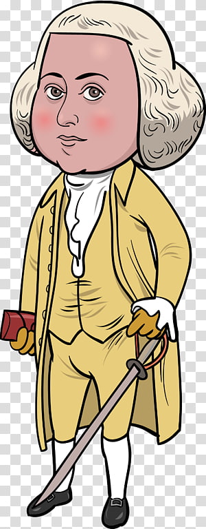
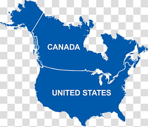
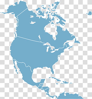
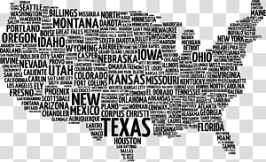
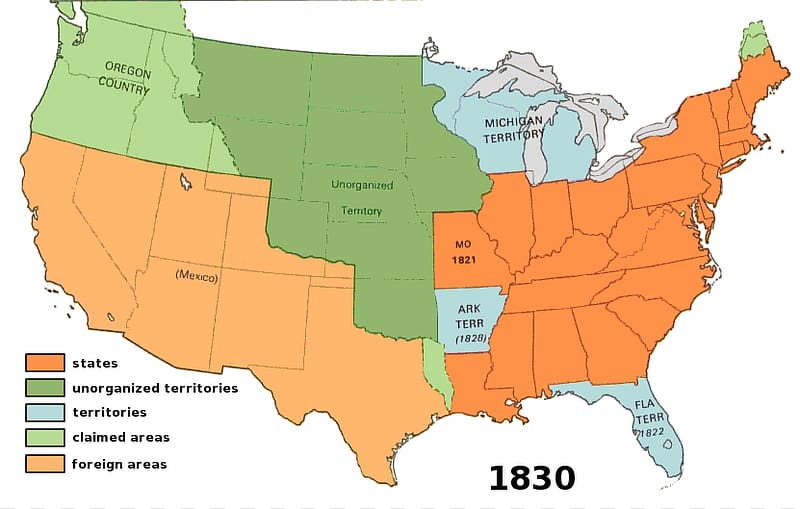
Louisiana Purchase Map Lewis and Clark Expedition Presidency of Thomas Jefferson, Us Map transparent background PNG clipart
Keywords
- louisiana
- purchase
- map
- lewis
- clark
- expedition
- presidency
- thomas
- jefferson
- us
- world
- united States
- james Monroe
- water Resources
- us Map Clipart
- ecoregion
- thomas Jefferson
- territorial Evolution Of The United States
- napoléon
- history
- line
- knowledge
- area
- Louisiana Purchase
- Lewis and Clark Expedition
- Presidency of Thomas Jefferson
- Us Map
PNG Clipart Information
- PNG Dimensions 831x528px
- PNG File size 62.5KB
- MIME type Image/png
- PNG dominant color white
License
HiClipart is an open community for users to share PNG images, all PNG cliparts in HiClipart are for Non-Commercial Use, no attribution required. If you are the author and find this PNG is shared without your permisson, DMCA report please Contact Us.
Related PNG clipart images
-

Napoleonic Wars Louisiana Purchase France French Revolution, france transparent background PNG clipart -

Lewis and Clark Expedition Lewis and Clark National Historic Trail Seaside Louisiana Purchase , expedition transparent background PNG clipart - Advertisements
-

States and federal territories of Malaysia States and federal territories of Malaysia Map, map transparent background PNG clipart -

white and black U.S.A. map illustration, Blank map Western United States Border World map, USA transparent background PNG clipart -

United States Blank map , about us transparent background PNG clipart -

United States World map World map Geography, America transparent background PNG clipart -

United States Blank map U.S. state , USA transparent background PNG clipart -

map illustration, Malaysia Map , asia transparent background PNG clipart -

map Kansas U.S. state, map transparent background PNG clipart -

Outline of the United States Blank map World map, california (us state) transparent background PNG clipart -

Franklin D. Roosevelt Pavilion VII (Colonnade Club) President of the United States, others transparent background PNG clipart -

United States World map U.S. state Abbreviation, map usa transparent background PNG clipart -

Louisiana Purchase United States presidential election, 1800 United States presidential election, 1804 Louisiana Territory, purchase transparent background PNG clipart -

Naya Raipur Chhattisgarh Board of Secondary Education States and territories of India Map, map transparent background PNG clipart -

Blank map Provinces and territories of Canada United States, Canada transparent background PNG clipart -

U.S. state World map Virginia Inside U.S.A., united states transparent background PNG clipart -

California Washington Oregon Idaho Jefferson, california transparent background PNG clipart -

Federal government of the United States Map U.S. state, USA transparent background PNG clipart -

Thomas Jefferson United States two-dollar bill United States one-dollar bill United States Dollar, bill clinton transparent background PNG clipart -

United States Declaration of Independence American Revolution Founding Fathers of the United States President of the United States, signature transparent background PNG clipart -

United States Blank map World map American Civil War, united states transparent background PNG clipart -

United States Chhattisgarh Police Government of Chhattisgarh States and territories of India Central India, united states transparent background PNG clipart -

Art State Line, Vigo County, Indiana Blank map , map transparent background PNG clipart -

Provinces and territories of Canada Mapa polityczna Physische Karte, map of canada transparent background PNG clipart -

Thomas Jefferson United States Declaration of Independence American Revolution , Jefferson s transparent background PNG clipart -

Sabah Sarawak Map, map transparent background PNG clipart -

Florida State University New Jersey Blank map Drawing, belt border transparent background PNG clipart -

United States Map , slogan map transparent background PNG clipart -

Delhi Mapa polityczna States and territories of India Political party, india map transparent background PNG clipart -

Abu Dhabi Persian Gulf Map Islam South, uae transparent background PNG clipart -

Caribbean United States Central America Map North, World Map Details transparent background PNG clipart -

United States Blank map Mapa polityczna, united states transparent background PNG clipart -

States and territories of India Map , India transparent background PNG clipart -

Flag of the United States , Flag of United States territory creative transparent background PNG clipart -

Indonesia map, Indonesia Map, indonesia transparent background PNG clipart -

United States Globe Map Time zone U.S. state, Map of the United States transparent background PNG clipart -

Bali World map, map transparent background PNG clipart -

Textile industry in India Map Business, north indian food transparent background PNG clipart -

Provinces and territories of Canada Blank map United States, labrador transparent background PNG clipart -

Midwestern United States Blank map Northeastern United States, map transparent background PNG clipart -

World map Utah County, Utah City map, map transparent background PNG clipart -

History of the Falkland Islands Falklands War Malvinas Argentinas Partido Falkland Islands sovereignty dispute, Alvin transparent background PNG clipart -

Water, Hawaii, Alaska, Maui, Us State, Map, Island, Territory Of Hawaii transparent background PNG clipart -

United States presidential election, 1968 US Presidential Election 2016 United States presidential election, 1952 United States presidential election, 2000, Canada Detail Map transparent background PNG clipart -

Flag of Massachusetts U.S. state Symbol Logo, symbol transparent background PNG clipart -

Republican party presidential primaries, 2016 United States US Presidential Election 2016 Political campaign, mango transparent background PNG clipart -

James Madison President of the United States , united states transparent background PNG clipart -

States of Germany Map Shapefile, map transparent background PNG clipart -

Missouri Michigan U.S. state Map , state transparent background PNG clipart -

Line Border, Water Resources, Iran, Map, Ecoregion, TUBERCULOSIS, Area, World transparent background PNG clipart -

US Presidential Election 2016 Protests against Donald Trump United States Presidency of Donald Trump Republican Party presidential candidates, 2016, united states transparent background PNG clipart -

Central California Six Californias Silicon Valley Map, map transparent background PNG clipart -

John Adams Fries\'s Rebellion United States XYZ Affair The Letters of John and Abigail Adams, young transparent background PNG clipart -

World Map, United States Of America, Canada, Us State, Blue, Text, Water, Sky transparent background PNG clipart -

Organization of American States Central America Organization of Ibero-American States, others transparent background PNG clipart -

United States Diversity Immigrant Visa Lottery US Presidential Election 2016 Permanent residence, aries transparent background PNG clipart -

President of the United States Signature block Declaration of Independence, Thomas Jefferson transparent background PNG clipart -

Kuta Tanah Lot Ubud Balinese temple Nusa Dua, bali transparent background PNG clipart -

US Presidential Election 2016 President of the United States Bernie Sanders presidential campaign, 2016 Democratic Party, united states transparent background PNG clipart -

Founding Fathers of the United States Hamilton T-shirt Philosopher, united states transparent background PNG clipart -

United States Köppen climate classification Map, europe and the united states transparent background PNG clipart -

Louisiana State Capitol Louisiana House of Representatives Louisiana\'s congressional districts Electoral district, map transparent background PNG clipart -

Map Midwestern United States Ecoregion, map transparent background PNG clipart -

States of India World map Union territory, India transparent background PNG clipart -

Battle of Hastings Norman conquest of England 1066: The Hidden History of the Bayeux Tapestry British Isles, map transparent background PNG clipart -

Southern California Sharp Legal Imaging, Inc. City map County, california transparent background PNG clipart -

US Presidential Election 2016 United States presidential election, 2012 United States presidential election in Illinois, 2016, united states transparent background PNG clipart -

South Carolina Electoral district US Presidential Election 2016 Map , Word transparent background PNG clipart -

Monroe County, Indiana Ohio County, Indiana Tipton County, Indiana Washington County, Indiana Map, indiana transparent background PNG clipart -

Map Lake Bratan Tourist attraction Bedugul Tourism, map transparent background PNG clipart -

Balaghat district Hoshangabad Bhopal Neemuch Wikipedia, others transparent background PNG clipart -

Indus River Indus Valley Civilisation Ganges Sindh Indus Waters Treaty, buddhism pattern transparent background PNG clipart -

APEC Vietnam 2017 United States Asia-Pacific Economic Cooperation Pacific Rim Australia, country transparent background PNG clipart
