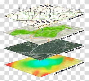
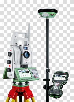
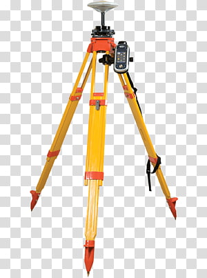
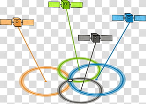
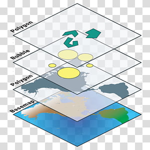
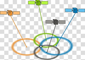
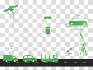
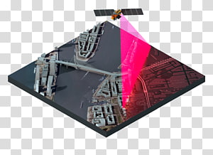
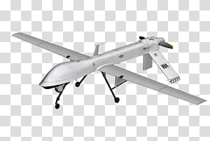
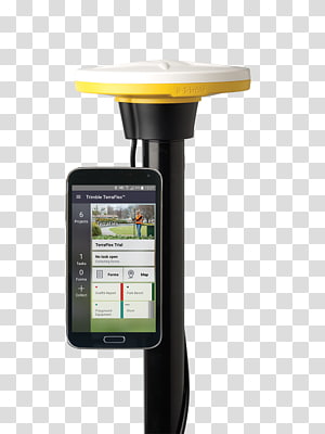
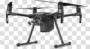
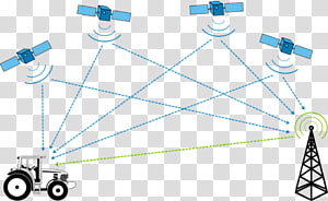
Geographic Information System Data Map Cartography Computer Icons, map transparent background PNG clipart
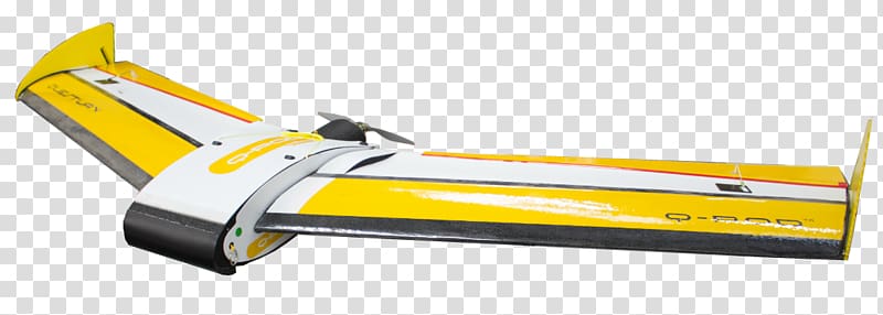
Keywords
- geographic
- information
- system
- data
- map
- cartography
- computer
- icons
- angle
- computer Hardware
- surveyor
- navigation
- rotary
- thumbnail
- tool
- travel World
- uav
- unmanned Aerial Vehicle
- wing
- airfoil
- machine
- line
- computer Icons
- cylinder
- dji
- fix
- geographic Information System
- global Positioning System
- hardware
- hardware Accessory
- yellow
PNG Clipart Information
- PNG Dimensions 1139x407px
- PNG File size 289.74KB
- MIME type Image/png
- PNG dominant color yellow
License
HiClipart is an open community for users to share PNG images, all PNG cliparts in HiClipart are for Non-Commercial Use, no attribution required. If you are the author and find this PNG is shared without your permisson, DMCA report please Contact Us.
Related PNG clipart images
-

GPS Navigation Systems Computer Icons Map , map transparent background PNG clipart -

GPS Navigation Systems Google Maps Navigation Computer Icons Global Positioning System, map transparent background PNG clipart - Advertisements
-

Geographic Information System Geography GIS Day Geographic data and information, layer transparent background PNG clipart -

global positioning system illustration, GPS navigation device Global Positioning System Smartwatch Vehicle audio GPS tracking unit, Route Map icon material transparent background PNG clipart -

GPS Navigation Systems Leica Geosystems Leica Camera GNSS applications Global Positioning System, total station transparent background PNG clipart -

Unmanned aerial vehicle Mavic Pro Delivery drone Quadcopter Advertising, dji drone logo transparent background PNG clipart -

GPS Navigation Systems Real Time Kinematic Global Positioning System Satellite navigation Surveyor, Business transparent background PNG clipart -

Unmanned aerial vehicle Fixed-wing aircraft Map Geospatial analysis, Uav Model transparent background PNG clipart -

quadcopter animated illustration, Mavic Phantom Unmanned aerial vehicle Quadcopter DJI, Drone transparent background PNG clipart -

GPS navigation device Global Positioning System Mobile phone Icon, Map transparent background PNG clipart -

planet earth artwork, Esri ArcGIS Server Geographic Information System Computer Software, previous icon transparent background PNG clipart -

Beyeler Foundation GPS Navigation Systems Computer Icons Google Map Maker, map marker transparent background PNG clipart -

GPS Navigation Systems Global Positioning System GPS satellite blocks Dilution of precision, gps transparent background PNG clipart -

yellow pin illustration, Paper Drawing pin Global Positioning System Icon, Yellow pushpin transparent background PNG clipart -

multicolored google map screenshot, GPS navigation device Map Euclidean Icon, City Street Map transparent background PNG clipart -

Geographic Information System Web mapping ArcGIS Geography, layers transparent background PNG clipart -

Google Maps Computer Icons Hot Pie Pizza Information, map transparent background PNG clipart -

Layers Web Feature Service Web Map Service, layer transparent background PNG clipart -

Geographic Information System Computer Icons Map Icon design, map transparent background PNG clipart -

Aircraft Unmanned aerial vehicle Scalable Graphics, UAV transparent background PNG clipart -

GPS navigation device Icon, Map location icon transparent background PNG clipart -

Geographic Information System Mastering ArcGIS Geography Geographic data and information, map transparent background PNG clipart -

GPS Navigation Systems Portable Network Graphics Global Positioning System Automotive navigation system, Location Symbol transparent background PNG clipart -

Camera, Gps Navigation Systems, Real Time Kinematic, Global Positioning System, Surveyor, Glonass, Satellite Navigation, GPS Tracking Unit transparent background PNG clipart -

Treasure map Treasure hunting Piracy, map transparent background PNG clipart -

Geographic Information System Computer Icons Map Geographic data and information Computer Software, map transparent background PNG clipart -

Google Map Maker Computer Icons Information, location icon transparent background PNG clipart -

GPS Navigation Systems Dilution of precision Global Positioning System GPS satellite blocks, satellite signals transparent background PNG clipart -

Car Vehicle tracking system GPS tracking unit Global Positioning System, gps tracking system transparent background PNG clipart -

ArcGIS Geographic Information System Esri Cartography, map transparent background PNG clipart -

Quadcopter Unmanned aerial vehicle Fixed-wing aircraft, uav transparent background PNG clipart -

white airplane miniature, General Atomics MQ-1 Predator United States General Atomics MQ-9 Reaper Aircraft Drone strikes in Pakistan, Drones transparent background PNG clipart -

Map Computer Icons GPS Navigation Systems Sign, map transparent background PNG clipart -

GPS Navigation Systems Computer Icons Global Positioning System , map transparent background PNG clipart -

Geographic Information System Frontier Precision, Corporate Surveyor Trimble Map, map transparent background PNG clipart -

Computer Icons Google Maps Navigation User interface design, map transparent background PNG clipart -

Google Map Pin, Computer Icons Google Maps, map marker transparent background PNG clipart -

DJI Unmanned aerial vehicle Gimbal Quadcopter Industry, drone transparent background PNG clipart -

GPS navigation device Map Computer graphics, Positioning System Map transparent background PNG clipart -

Computer Icons Geographic Information System Icon design, map icon transparent background PNG clipart -

Computer Icons Map GPS Navigation Systems Road, path transparent background PNG clipart -

GPS Navigation Systems Global Positioning System Laptop GPS navigation software Assisted GPS, Github transparent background PNG clipart -

GPS Navigation Systems Mobile app development Google Maps, Cute mobile phone satellite positioning transparent background PNG clipart -

Unmanned aerial vehicle Quadcopter 4K resolution Camera Gimbal, UAV transparent background PNG clipart -

OpenStreetMap JOSM Geographic Information System Geographic data and information, road map infography aerial view transparent background PNG clipart -

Spain Computer Icons Map Geography Spatial data infrastructure, map transparent background PNG clipart -

GPS Navigation Systems Mobile Phones Presentation Global Positioning System Smartphone, Tracking transparent background PNG clipart -

Unmanned aerial vehicle Fixed-wing aircraft Quadcopter Computer Icons, Drone transparent background PNG clipart -

Cloud Computing Icon, System Integration, Information Technology, Infrastructure As A Service, Disparate System, Business Process, Data, It Infrastructure transparent background PNG clipart -

Mobile phone Smartphone Illustration, Mobile navigation map transparent background PNG clipart -

GPS Navigation Systems Global Positioning System GPS tracking unit Car Automotive navigation system, car transparent background PNG clipart -

Car Park Valet parking Hotel, car parking transparent background PNG clipart -

Google Maps Geographic Information System Computer Icons World map, performance transparent background PNG clipart -

Aurangabad Toronto Location Business Map, Map with landmarks material ed transparent background PNG clipart -

Smartphone Feature phone Map Mobile phone Navigation, Maps for mobile transparent background PNG clipart -

Unmanned aerial vehicle Quadcopter Drone racing Icon, UAV transparent background PNG clipart -

Fixed-wing aircraft Unmanned aerial vehicle Surveyor senseFly Real Time Kinematic, drone logo transparent background PNG clipart -

Surveyor Aerial survey Unmanned aerial vehicle Map Aerial , volumetric transparent background PNG clipart -

Esri International User Conference ArcGIS Server Redlands, map transparent background PNG clipart -

GPS Navigation Systems Map GPS tracking unit Global Positioning System, map transparent background PNG clipart -

Location Computer Icons Saphex 2018 Map Gallagher Convention Centre, map transparent background PNG clipart -

Real Time Kinematic DJI Mavic Pro Unmanned aerial vehicle Quadcopter, others transparent background PNG clipart -

GPS Navigation Systems Differential GPS Global Positioning System Dilution of precision GNSS augmentation, Motosafety Gps Tracking transparent background PNG clipart -

GPS Navigation Systems Car Vehicle tracking system GPS tracking unit, car transparent background PNG clipart -

Computer Icons Google Maps Guide World map, map transparent background PNG clipart -

GPS Navigation Systems Computer Icons Global Positioning System Symbol , gps location map transparent background PNG clipart -

Computer Icons GPS Navigation Systems Google Maps , map transparent background PNG clipart -

JOSM OpenStreetMap OpenHistoricalMap Open Source Geospatial Foundation, map transparent background PNG clipart -

flat location icon symbol transparent background PNG clipart -

Mind map Computer Icons , map transparent background PNG clipart -

Mavic Pro DJI Spark Unmanned aerial vehicle Quadcopter, others transparent background PNG clipart -

Computer Icons Road map Research question , map transparent background PNG clipart -

Navigation Icon, Compass tablet map transparent background PNG clipart -

GPS Navigation Systems Global Positioning System Computer Icons Encapsulated PostScript, gps transparent background PNG clipart -

Mavic Pro Modlin Fortress Unmanned aerial vehicle Helicopter Quadcopter, Dji spark transparent background PNG clipart

