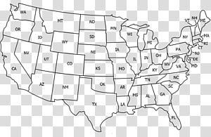
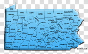
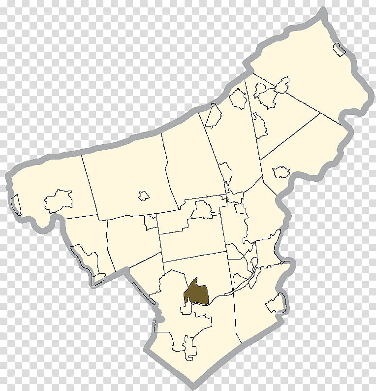
Map, ertown, Ackermanville, Palmer Heights, Nazareth, Nazareth Area School District, Geographic Names Information System, Geography transparent background PNG clipart
Keywords
- palmer
- heights
- area
- school
- district
- geographic
- names
- information
- system
- Stockertown
- Ackermanville
- Palmer Heights
- Nazareth
- Map
- Nazareth Area School District
- Geographic Names Information System
- Geography
- United States Of America
- Northampton County Pennsylvania
- Pennsylvania
- Diagram
PNG Clipart Information
- PNG Dimensions 764x794px
- PNG File size 145.7KB
- MIME type Image/png
- PNG dominant color white
License
HiClipart is an open community for users to share PNG images, all PNG cliparts in HiClipart are for Non-Commercial Use, no attribution required. If you are the author and find this PNG is shared without your permisson, DMCA report please Contact Us.
Related PNG clipart images
-

earth illustration, Geographic Information System GIS Day Geographic data and information Geography Map, Earth In transparent background PNG clipart -

white and black U.S.A. map illustration, Blank map Western United States Border World map, USA transparent background PNG clipart - Advertisements
-

United States World map World map Geography, America transparent background PNG clipart -

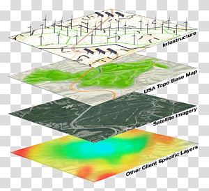
Geographic Information System Geography GIS Day Geographic data and information, layer transparent background PNG clipart -

United States South America Blank map Continent, united states transparent background PNG clipart -

Greater Dublin Area Swords Map Ulster, ireland transparent background PNG clipart -

Outline of the United States Blank map World map, california (us state) transparent background PNG clipart -

South America Page Latin America Coloring book Map, America transparent background PNG clipart -

United States Blank map U.S. state , USA transparent background PNG clipart -

United States of America map and flag, Flag of the United States Map , USA transparent background PNG clipart -

Geographic Information System Web mapping ArcGIS Geography, layers transparent background PNG clipart -

Scotland map, Wales Regions of England Map Counties of the United Kingdom, English United Kingdom map transparent background PNG clipart -

blue map , Latin America The Guianas United States Caribbean South America Southern Cone, America transparent background PNG clipart -

Map of India, South America United States Mexico Latin American wars of independence Hispanic and Latino Americans, America transparent background PNG clipart -

Map, Latin America, United States Of America, South America, Region, History, Geography, Americas transparent background PNG clipart -

planet earth artwork, Esri ArcGIS Server Geographic Information System Computer Software, previous icon transparent background PNG clipart -

Telangana Legislative Assembly States and territories of India Telugu language Map, TELANGANA Map transparent background PNG clipart -

Map, ArcGIS, Web Map Service, Web Mapping, Esri, Geography, Qgis, Digital Mapping, Geographic Data And Information, Information System transparent background PNG clipart -

Geographic Information System Mastering ArcGIS Geography Geographic data and information, map transparent background PNG clipart -

Ordem E Progresso Brasil , Flag of Brazil Globe Map, brazil transparent background PNG clipart -

Beyeler Foundation GPS Navigation Systems Computer Icons Google Map Maker, map marker transparent background PNG clipart -

Geographic Information System Geography Geospatial analysis Map, map transparent background PNG clipart -

United States Blank map , about us transparent background PNG clipart -

Map, Information System, Geography, Geographic Information Science, Geographic Data And Information, Web Mapping, Cartography, Information Technology transparent background PNG clipart -

Wisconsin Blank map , State transparent background PNG clipart -

Europe Blank map World map Mapa polityczna, europe and the united states frame transparent background PNG clipart -

white and green map , Nigeria Web mapping Globe , eva longoria transparent background PNG clipart -

South America Latin America United States Blank map , America transparent background PNG clipart -

Counties of Iran Blank map Geography, map transparent background PNG clipart -

blue, white, and red flag, Marshall Independent School District Republic of Texas Flag of Texas Flag of Mexico, Texas Star s transparent background PNG clipart -

Flag of Australia Map National flag, Australia transparent background PNG clipart -

map , Latin America Flags of South America Map, map transparent background PNG clipart -

Page Blank map Coloring book South America, european tourist city landscape elements transparent background PNG clipart -

United States Map , united states transparent background PNG clipart -

Kentucky Blank map Geography , map transparent background PNG clipart -

United States World map Globe, Global transparent background PNG clipart -

Globe Geographic coordinate system Longitude Portable Network Graphics , globe transparent background PNG clipart -

United States Blank map World map American Civil War, united states transparent background PNG clipart -

United States World map U.S. state Abbreviation, map usa transparent background PNG clipart -

U.S. state World map Virginia Inside U.S.A., united states transparent background PNG clipart -

Philippines Philippine Declaration of Independence Shapefile Map Geographic Information System, map transparent background PNG clipart -

map sketch, Peninsular Malaysia Federal Territories Blank map Map, indonesia map transparent background PNG clipart -

Flag of the United States , America transparent background PNG clipart -

Caribbean United States Central America Map North, World Map Details transparent background PNG clipart -

Globe Earth Latitude Longitude Geographic coordinate system, geography transparent background PNG clipart -

white and black map sketch, Brazil United States Globe Blank map, brazilian carnival transparent background PNG clipart -

World Earth Day, Geographic Information System, Geography, Geographic Data And Information, Gis Day, ArcGIS, Map, Information Technology transparent background PNG clipart -

Flag of the Czech Republic Embassy of the United States, Prague Name of the Czech Republic Education, france flag transparent background PNG clipart -

map sketch, Mexico United States Blank map Geography, mexico transparent background PNG clipart -

Geographic Information System Computer Icons Map Geographic data and information Computer Software, map transparent background PNG clipart -

Flag of Florida Flag of the United States Map, USA transparent background PNG clipart -

ArcGIS Geographic Information System Esri Cartography, map transparent background PNG clipart -

Federal government of the United States Map U.S. state, USA transparent background PNG clipart -

Globe Computer Icons, LOCATION transparent background PNG clipart -

North Pole Earth Globe World Northern Sea Route, Format s Of Globe transparent background PNG clipart -

Flag of the United States Map Flags of North America, America transparent background PNG clipart -

Treasure map Treasure hunting Piracy, map transparent background PNG clipart -

United States Central America South America Map Quiz, caribbean transparent background PNG clipart -

Indian independence movement Flag of India National flag, India transparent background PNG clipart -

United States Canada Blank map , united states transparent background PNG clipart -

Globe Wikipedia World map , globe transparent background PNG clipart -

City, Colombo, Eastern Province, Districts Of Sri Lanka, Jaffna, United States Of America, Map, Negombo transparent background PNG clipart -

Map, Wyoming County Pennsylvania, Erie County Pennsylvania, Wayne County Pennsylvania, York County Pennsylvania, Schuylkill County Pennsylvania, Pike County Pennsylvania, Bedford County Pennsylvania transparent background PNG clipart -

Art, Texas , others transparent background PNG clipart -

white geographic map illustration, Europe United States Black and white Map , europe transparent background PNG clipart -

Blank map Provinces and territories of Canada United States, Canada transparent background PNG clipart -

Road map Himachal Pradesh Punjab Geographic Information System, india map transparent background PNG clipart -

Hyderabad Medak district Geography Government of Telangana States and territories of India, others transparent background PNG clipart -

Geography National Geographic Bee Education Learning Map, globe transparent background PNG clipart -

earth illustration, world globe circle earth, OS X Server transparent background PNG clipart -

white, red, and blue flag illustration, Flag of Nepal April 2015 Nepal earthquake National flag, indonesia map transparent background PNG clipart -

United States World map Globe, Green Earth transparent background PNG clipart -

United States Blank map Map, united states transparent background PNG clipart -

Map, Information System, Geography, Data, Gis Solutions Inc, Web Mapping, Geographic Data And Information, Business transparent background PNG clipart -

United States South America Latin America Map , South America s transparent background PNG clipart
